


Outdoor Recreation Map Showcases Adventure Opportunities in the Willamette Valley
The North Willamette Valley is known as the heart of Oregon Wine Country. It’s where stately vineyards cover rolling hillsides, where hilltop tasting rooms offer east-facing views of Mt. Hood, and where the likes of McMinnville, Dayton, and Newberg host charming downtown cores.
For so long, the outdoor recreation scene around those communities was maybe our best-kept secret—until now. We’re excited for you to get the inside scoop on the area’s top outdoor destinations with the brand-new Willamette Adventures Outdoor Recreation Map.
The fold-out map breaks down some of the best cycling routes, paddling on the Willamette Water Trail, and walking and hiking paths—and is available now online and at businesses across the North Willamette Valley. Keep reading, and get inspired for your next adventure with this brand-new tool.
What is the Willamette Adventures Outdoor Recreation Map?
Simply put: The Willamette Adventures Outdoor Recreation Map is a fold-out map that showcases outdoor opportunities around McMinnville, Newberg, Dundee, and the rest of Oregon Wine Country. The curated round-up covers top bike rides, hiking trails, and more.
The map also includes a look at the Kalapuya people, who are now part of the Confederated Tribes of Grand Ronde and who have lived in the Willamette Valley since time immemorial, and tips for having a safe and enjoyable outdoor experience; that encompasses information on permits and passes, trip-planning logistics, and advice for taking care of our outdoor spaces.
Wide Variety of Outdoor Activities Shared in Recreation Map
Here’s a bit about what to expect from the map:
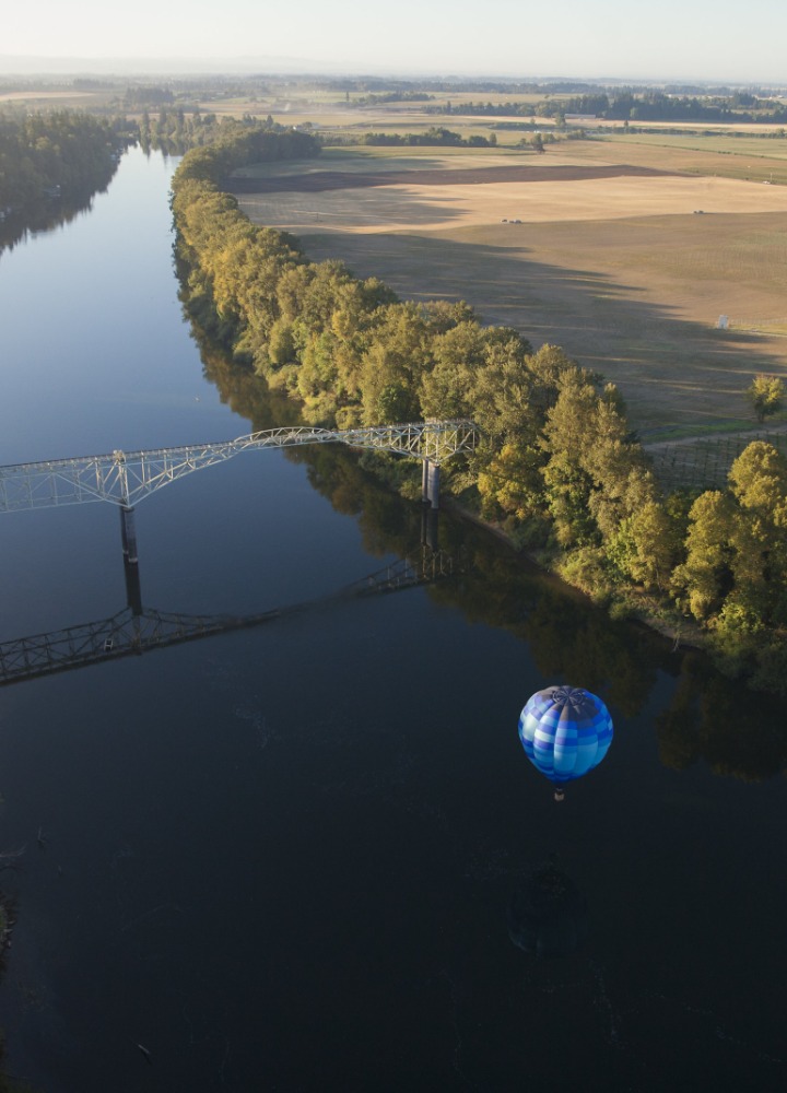
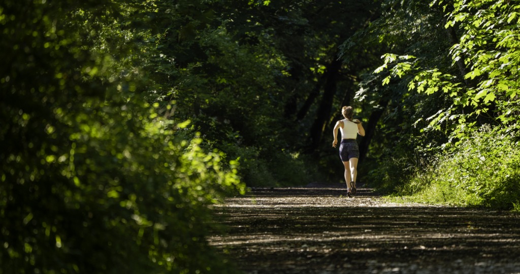
Outdoor stops: If you love getting in the saddle, you'll find dozens of ideas for road and gravel rides—with suggestions for where to score rentals and gear. Hikers, meanwhile, can tackle more than a dozen trails for different abilities and skill levels—including the site of a 90-ton glacial erratic rock, old-growth fir forests, and thundering waterfalls. And if you enjoy getting on the water, plenty of aquatic adventures await.
Wide range of activities: The outdoors are for everyone, which is why the map caters to every type of outdoor enthusiast with local golf courses, wildlife-watching spots, disc golf courses, and scenic picnic sites.
Trip-planning tools: There’s a lot to consider before getting outside, so the map brings together a number of planning tools—with insight on which passes and permits you may need at various sites, a breakdown of what you’ll encounter in each season, and how to travel around the valley.

Where to Pick Up the Willamette Adventures Outdoor Recreation Map
Ready for the outdoors? Here’s where to grab your copy of the adventure map:
McMinnville: McMinnville Area Chamber of Commerce
Newberg and McMinnville: Local businesses and partners
Statewide: Travel Oregon Welcome Centers
You can also download a PDF of the Willamette Adventures Outdoor Recreation Map here.
Whether you’re looking for outdoor fun, overnight stays, or food and wine recommendations, start planning a memorable getaway with local organizations that helped bring the map to life. Those include Travel Dundee Oregon, Taste Newberg, Visit McMinnville, Explore Dayton, and Visit Carlton.