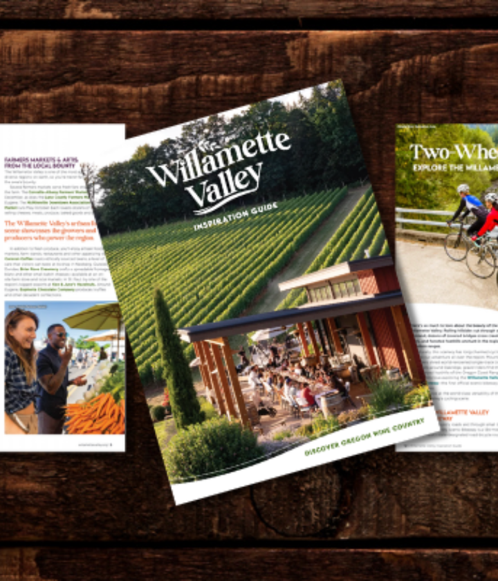
Get Outside With These Willamette Valley Outdoor Recreation Maps
The Willamette Valley sits sandwiched between two mountain ranges, hosts towering stands of old-growth Douglas fir, and is bisected by a 187-mile-long river that twists and turns its way through the entire region.
All that natural beauty makes it easy to get outdoors, bask in the scenery, and have an adventure you’ll remember long after returning home.
A handful of recreation maps make that easier than ever. These resources, available online or as fold-out guides at visitor centers throughout the Willamette Valley, showcase the best outdoor opportunities across the region. The fun ranges from local parks and easy walks to heart-pumping mountain bike rides, winding water trails, and hikes that lead to sweeping viewpoints.
Start planning your next trip, and see the scenery of the Willamette Valley, with these outdoor recreation maps.
Heart of the Valley Recreation Map

Corvallis sits in the heart of the Willamette Valley—its name roughly translates from Latin as "heart of the valley"—and is surrounded by outdoor opportunities in all four seasons. Hike or snowshoe to the summit of Marys Peak (the highest point in the Oregon Coast Range), pedal through mountainous forests along the Corvallis-to-the-Sea Trail, walk to the base of the picturesque Alsea Falls, unfurl your picnic blanket at area parks, and find other fun activities around Corvallis and throughout Benton County.
Get inspired with the Heart of the Valley Recreation Map, which brings together dozens of outdoor recommendations, the area’s top sites—along with what makes each so special, practical tips, and more.
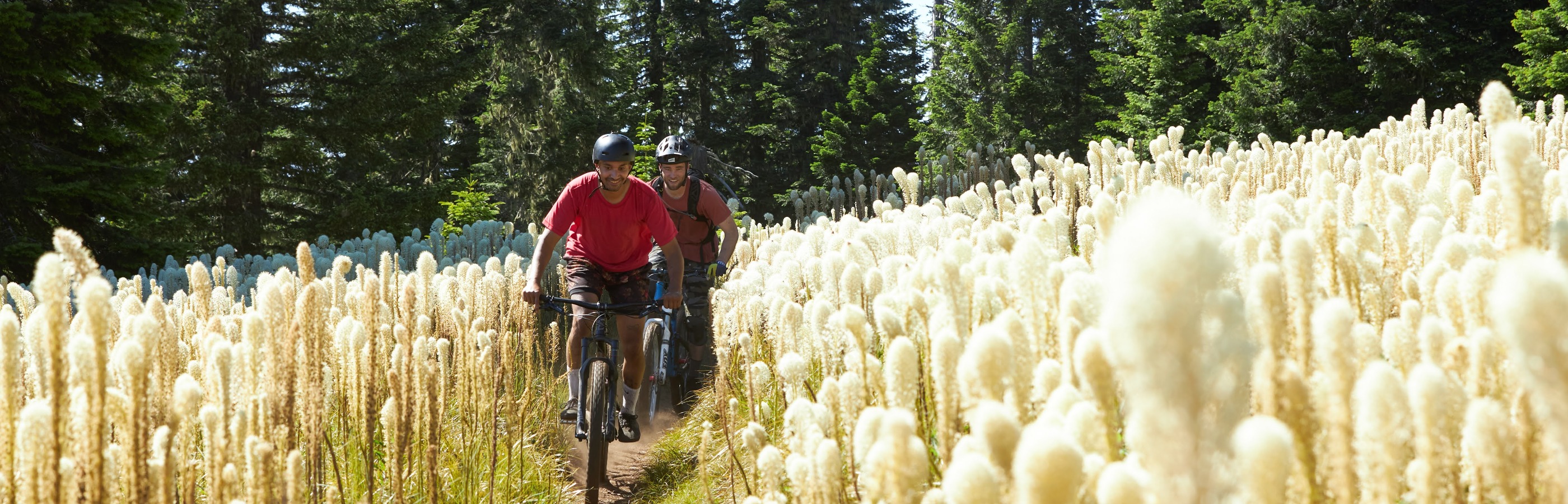
Wild & Scenic Molalla Corridor Outdoor Recreation Map
In the foothills of Mount Hood, the Molalla River Corridor Recreation Area courses its way through basalt-rimmed canyons, lush forests, and pristine wilderness areas.
Learn all about the outdoor opportunities around Molalla with the Wild & Scenic Molalla Corridor Outdoor Recreation Map—with tips for hiking, backpacking, camping, visiting historic sites, cycling, and more. The map’s other highlights cover local history, non-outdoorsy fun around Molalla, nearby farm stops, and more—with ideas, tips, and inspiration for everyone in your group.
Willamette Adventures Outdoor Recreation Map
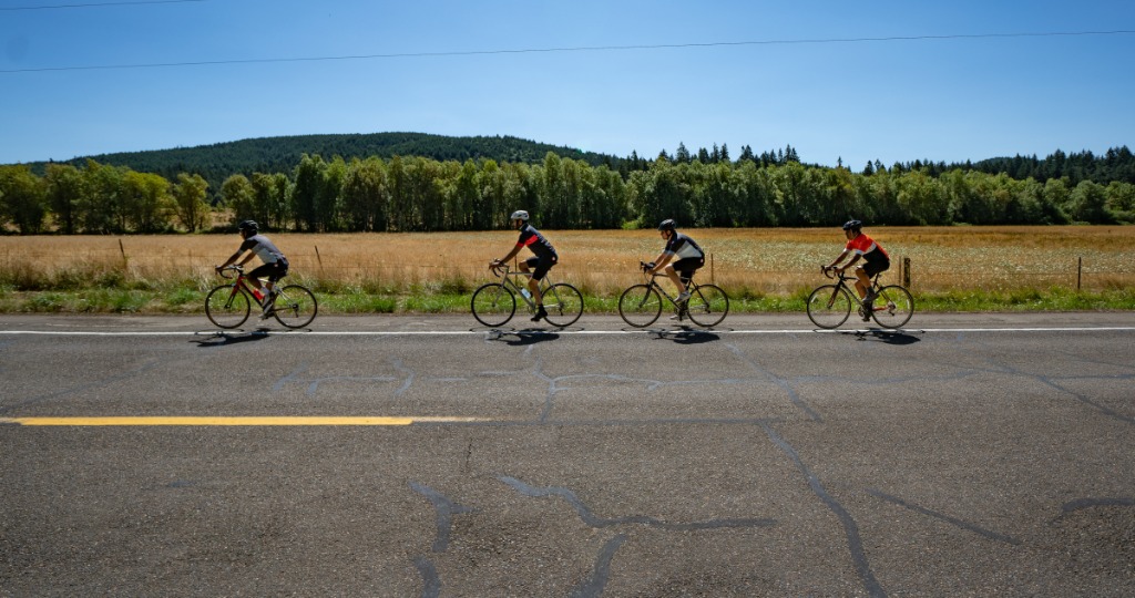
The northern reaches of the Willamette Valley are synonymous with rolling hillsides, pinot noir, and charming small towns—but the fun doesn’t end when you leave the vineyard.
The brand-new Willamette Adventures Outdoor Recreation Map brings together the region’s top outdoor activities—many of which you’ll enjoy in relative solitude. Check out cycling routes that head through pastoral farmland and along backcountry gravel paths, peaceful paddling trips, urban trails, sweeping hikes, and other fun activities. The map also covers the natural and cultural history of the region and provides tips and resources for the best possible experience.